

Monday, July 1, 2013
News N.C. Parks and Recreation upgrades its app (yes, it has one)
Posted By Ana McKenzie on Mon, Jul 1, 2013 at 4:34 PM
Hardly just for picking restaurants and identifying songs anymore, apps have expanded to encompass even the great outdoors. Who knew there was one to navigate North Carolina's rugged and beautiful terrain? (OK, maybe you did, but I didn't because I'd rather eat dirt than camp. So there!)
The good news is: The app is getting an upgrade.
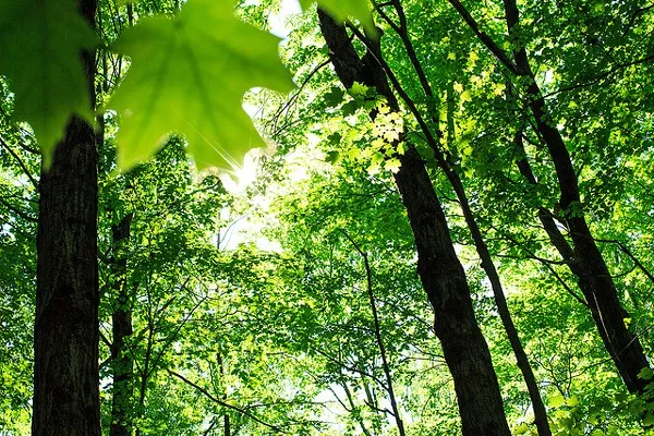
The N.C. Division of Parks and Recreation has teamed up with ParksbyNature Network LLC to refurbish the department's free mobile app designed for the state's parks and recreation areas.
According to the department:
The app offers all information from the state parks system website as well as campground maps, event schedules and GPS-based park maps that can be downloaded and carried into the field. An 'alert' feature provides emergency notices, and visitor groups can share locations through the app while exploring state parks.
New features ready for summer 2013 visitors include:
- A GeoChallenges aspect allowing visitors to earn points and prizes by exploring natural sites listed in the challenge (currently 13 sites in North Carolina);
- GPS map viewing in both portrait and landscape modes and an accuracy and distance indicator to further aid navigation;
- New ways to interact with other users of the app and with Pocket Ranger's website by submitting photographs, video and adventure notes;
- Optimization for the iPhone 5 screen;
- Improved loading time for the Places Near Me feature.
Download the Android- and iPhone-compatible app here.
Happy trails!
Speaking of...
-

A case for gardening
Dec 30, 2020 -

Faith and Spirituality Among Us All
Oct 22, 2020 -

The unique life of butterflies
Sep 28, 2020 - More »
Latest in The CLog


More by Ana McKenzie


-
Question the Queen City: The haunting of Love’s Pass
The railroad pass has claimed at least 14 lives
-
Eight (possible) things overheard in Patrick Cannon's prison visitation room
Who goes to see him on weekends? What do they talk about? We have no idea, but we're creative.
-
Listen Up: VS Guitar Duo Shreds on 'Local Vibes'
Episode 35


